Our Services
Precision Technology for a Sustainable Future

Precision Farming
Empowering Smarter Agriculture.
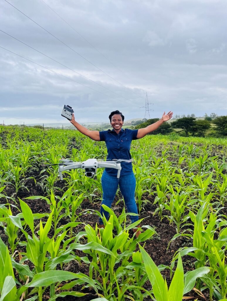
We leverage advanced AI to monitor crop health, giving farmers actionable data to optimize yields. By utilizing drone technology, we help bridge the gap between concept and commercialization, allowing for data-driven decision-making that enhances productivity and resource management.
- Crop Health Monitoring
- Growth Pattern Analytics
- Optimized Resource Planning

Aerial Mapping & Inspections
High-Resolution Insights from Above.
Our aerial surveillance capabilities provide high-resolution data capture essential for modern land and infrastructure management. We offer a bird’s-eye view that traditional methods cannot match, providing the precise visual data needed for large-scale agricultural surveillance and project oversight.
- Topographic & Land Mapping
- Infrastructure Inspection
- Strategic Site Surveillance

Targeted Agricultural Applications
Precision where it matters most.
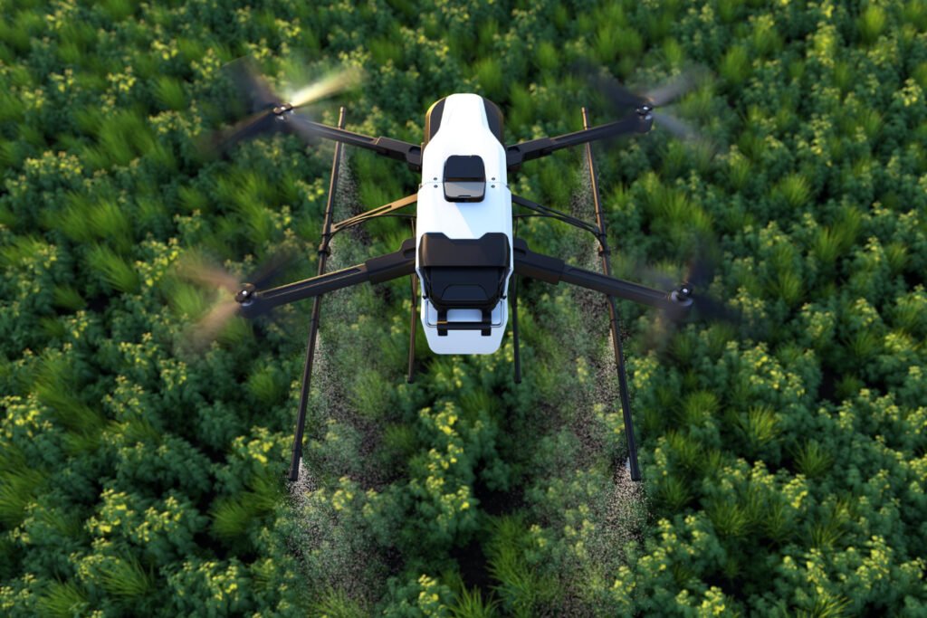
We believe in sustainable agriculture that respects the environment. Our drone services include the optimized and precise application of fertilizers and pesticides. By targeting specific areas, we reduce waste, minimize chemical runoff, and ensure that every application contributes directly to healthier crops and sustainable food security.
- Precision Fertilization
- Targeted Pesticide Application
- Sustainability & Waste Reduction
Why Partner With Us?
At Nyawo Zendalo Air, we combine technical excellence with a deep commitment to our clients’ success.
FAQs
Frequently Asked Questions
Common questions about our services to help understanding our operations.
Our mission is to integrate drone technology, AI, and data-driven insights to support sustainable food production, environmental conservation, and climate resilience. We are committed to the UN Sustainable Development Goals, specifically targeting zero emissions and food security in rural communities.
We offer professional, data-driven aerial solutions including:
- Precision Farming: Utilizing AI to monitor crop health and provide actionable data for smarter farming.
- Aerial Mapping & Inspections: Providing high-resolution data capture for infrastructure, land management, and agricultural surveillance.
- Targeted Agricultural Applications: Offering optimized and precise aerial application of fertilizers and pesticides to ensure sustainability and reduce waste.
We are based in the Cinci Reserve, Ward 11, Kwambonambi, KwaZulu-Natal. Our work is rooted in this community, allowing us to bring modern technological advancements directly to rural agricultural projects.
Our services are led by Bongiwe Nyawo, the founder and director of the company. She is a certified Remote Pilot (RPC) holding ratings for Multirotor (MR) operations and Visual Line of Sight (VLOS) flight.
Yes, we are a registered Private Company (Registration Number: 2024/308165/07). Our operations are fully compliant with South African Civil Aviation Authority standards, supported by a restricted radiotelephony license and a valid aviation medical certificate.
Get in Touch
Partner with Us for a Sustainable Future.
Ready to bring aerial innovation to your agricultural projects?
Phone: 073 371 6007
Email: slindilenyawo167@gmail.com
Location: Kwambonambi, KwaZulu-Natal, 3915